UPDATE as of 10-13-16
ICW Marsh & Shallotte Inlet During Hurricane Matthew
Thanks to member Pat Kwiatkowski for this video taken during the storm!
UPDATE as of 10-11-16
Additional Videos:
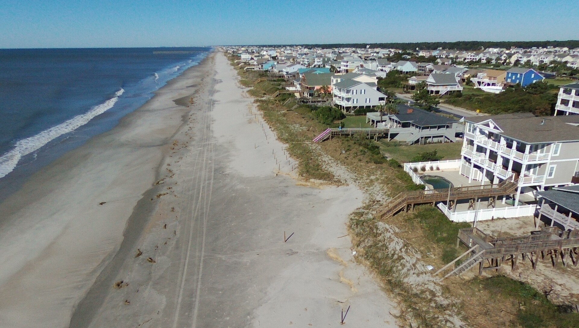
745 OBW to 1065 OBW Oceanfront Properties
There are also photos at the bottom of the post.
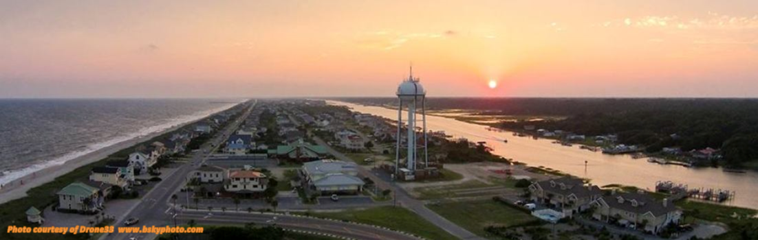
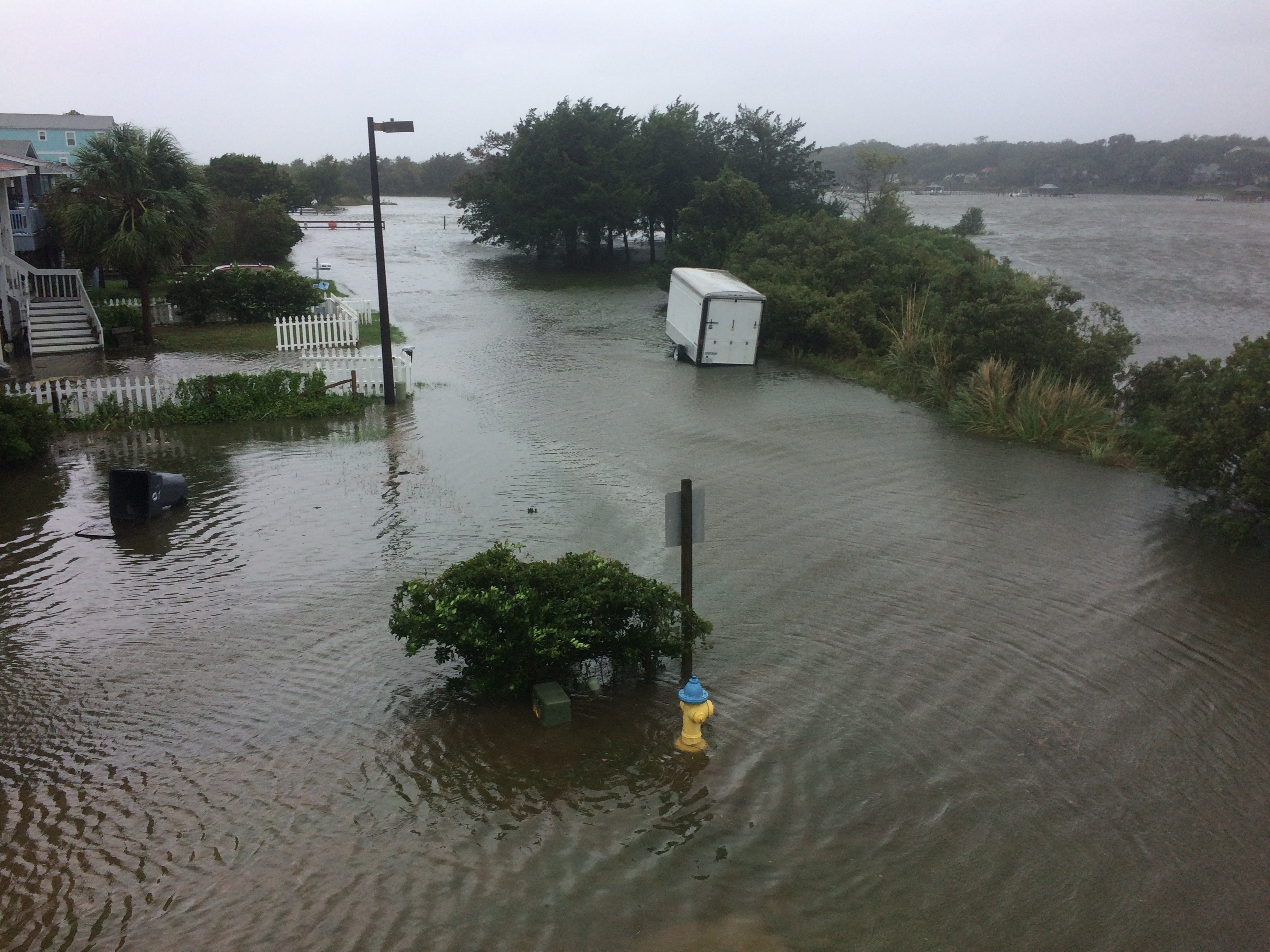
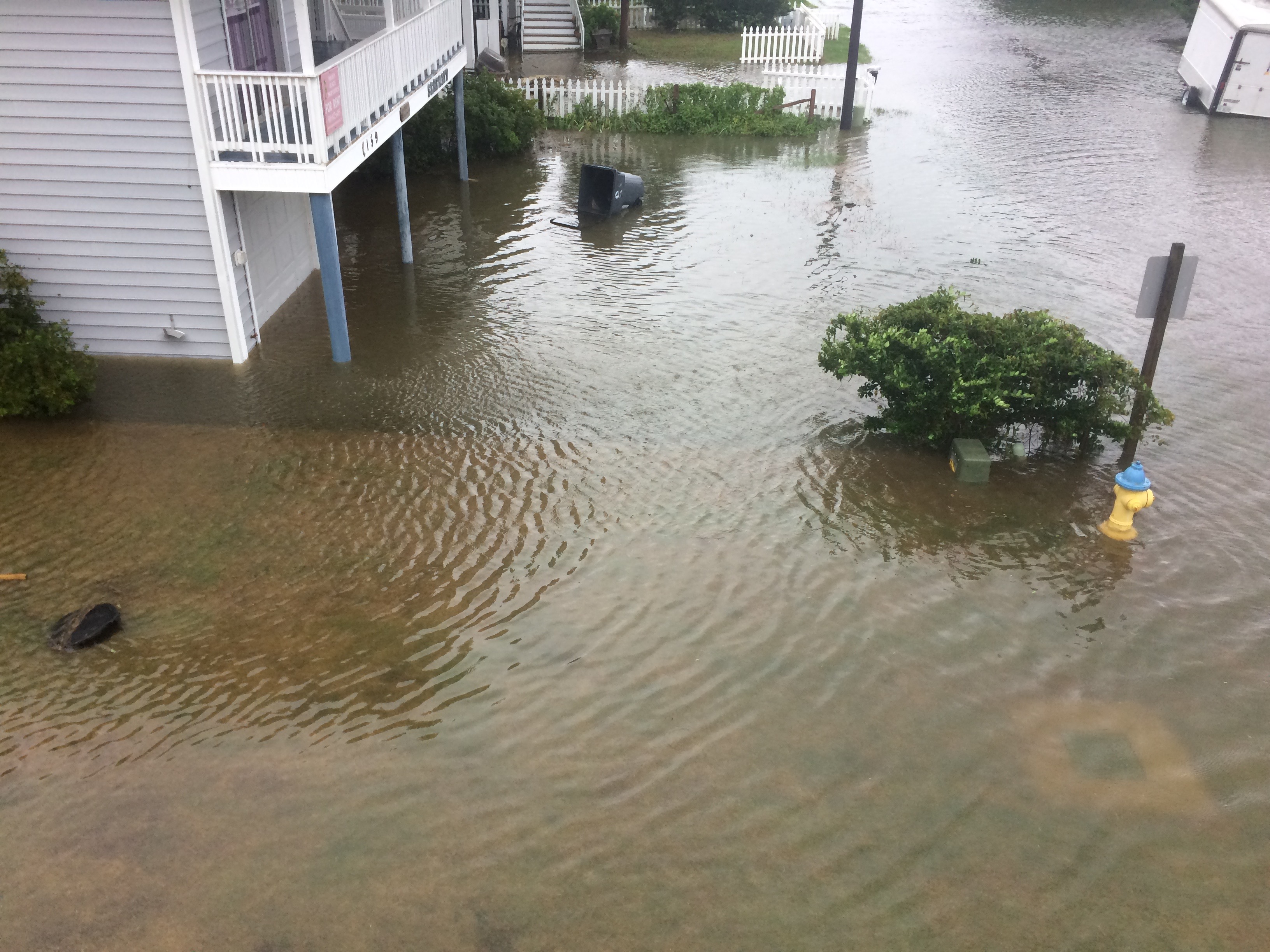
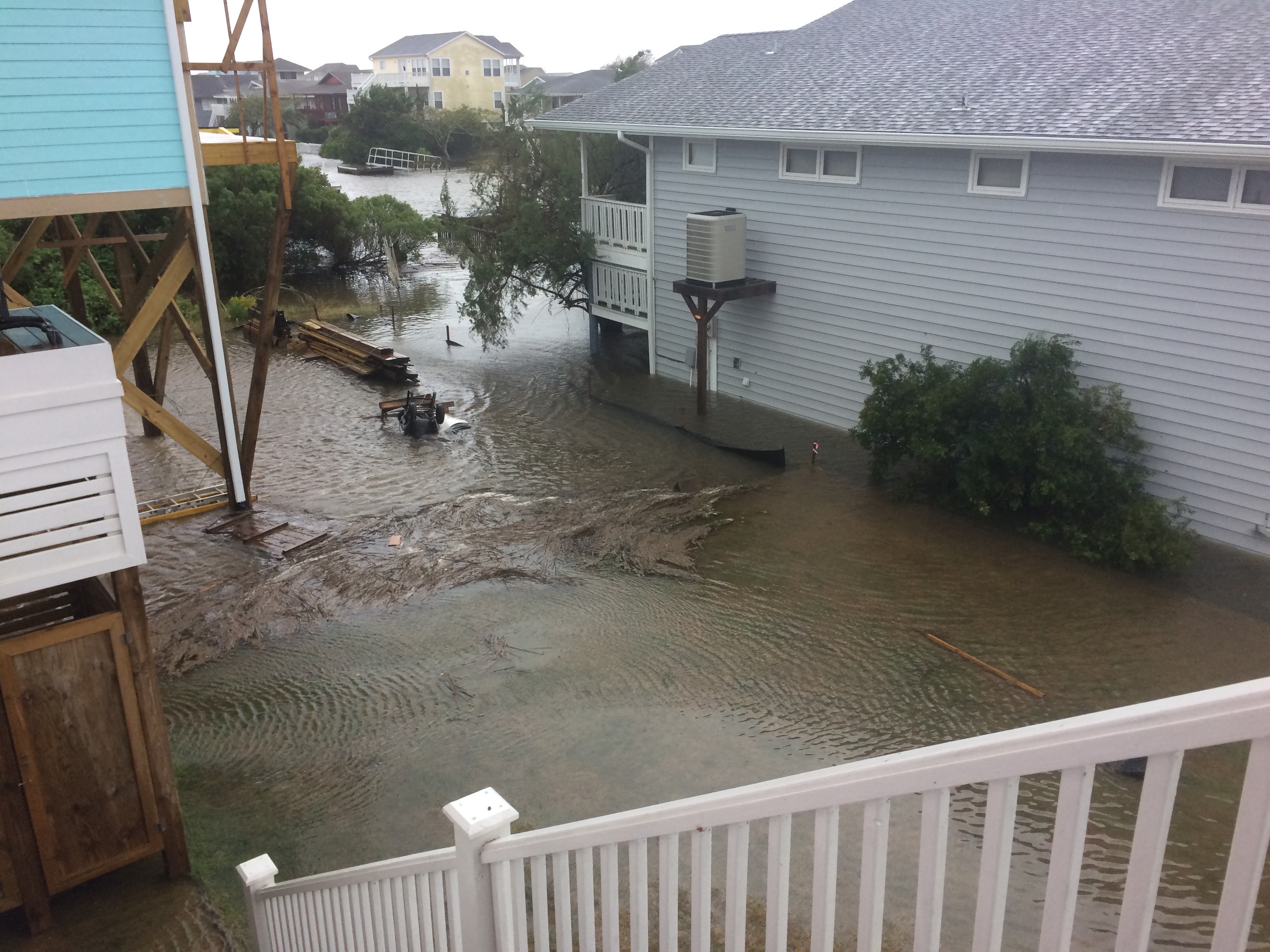
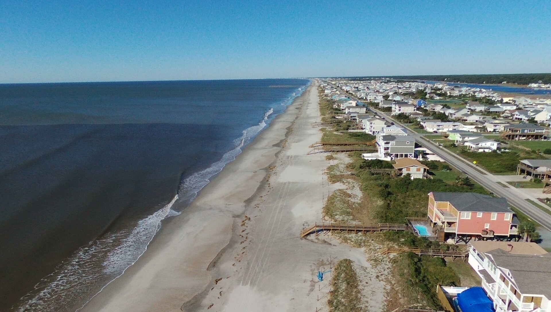
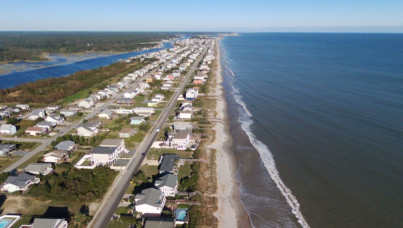 We realize that many members are not on the island and are concerned about their property. For the most part, the island fared well. There were a few spots where the dune was breached on the ocean front and there was also erosion. The canals went over their bulkheads which wreaked havoc with boats and floating docks. There are some missing shingles off roofs, missing vinyl siding and damaged walkways.
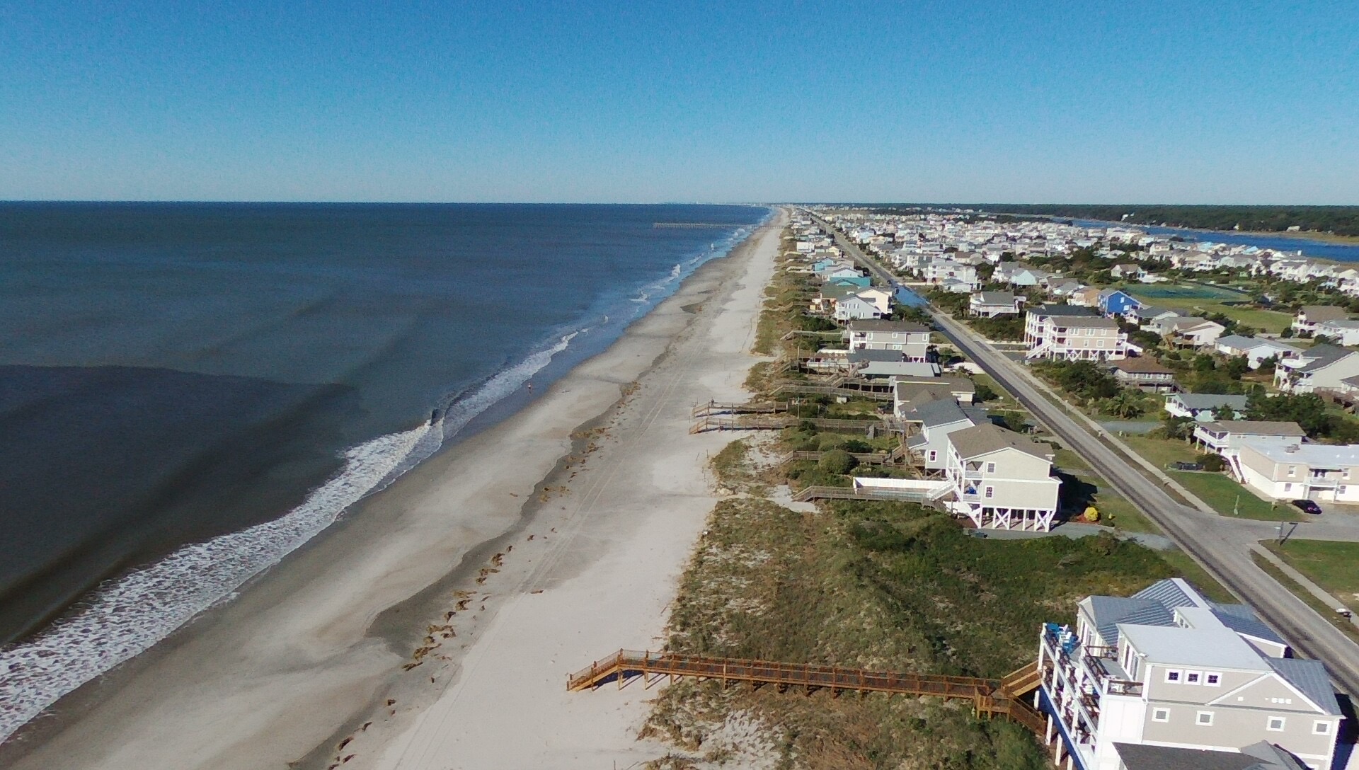
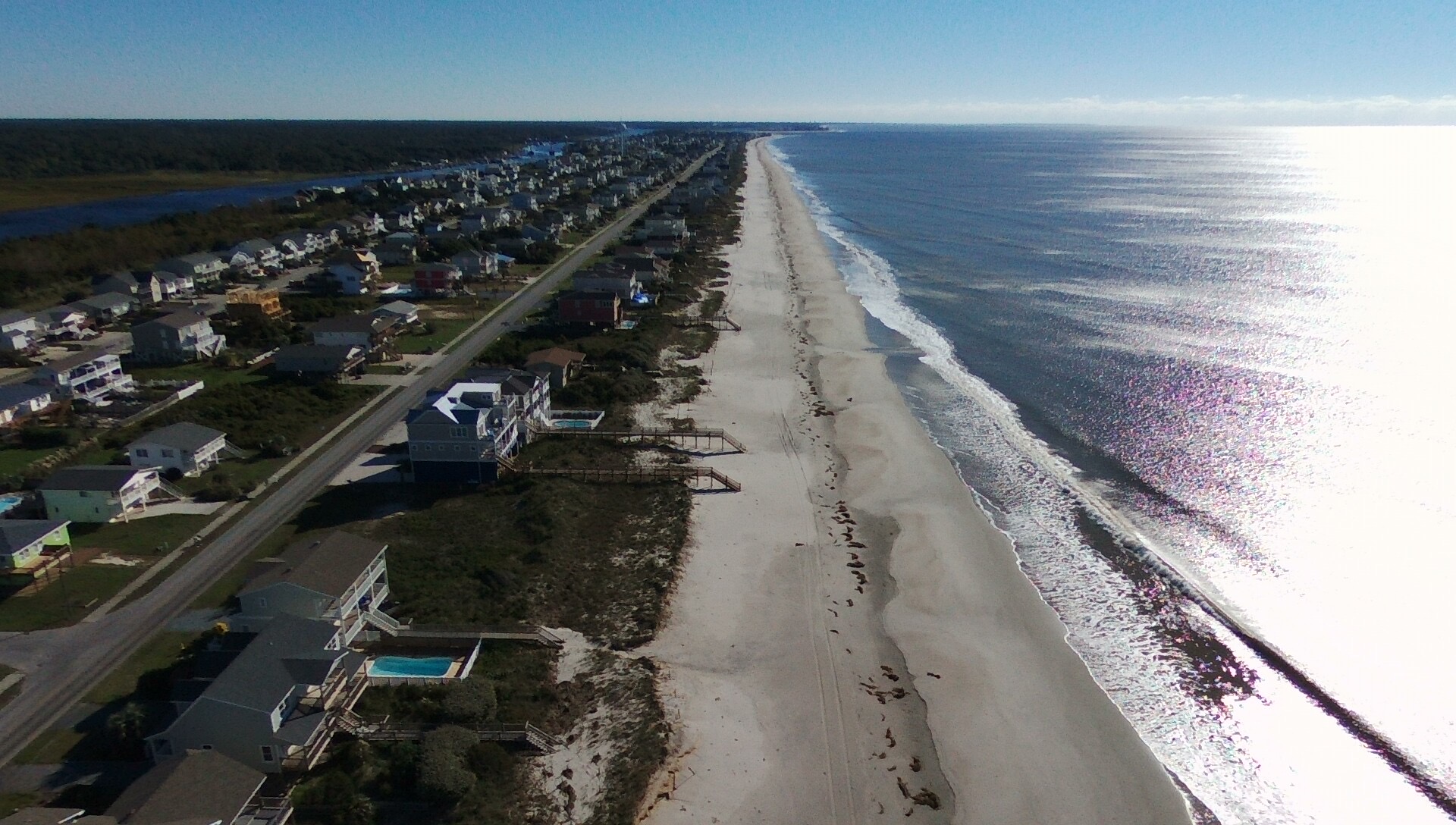
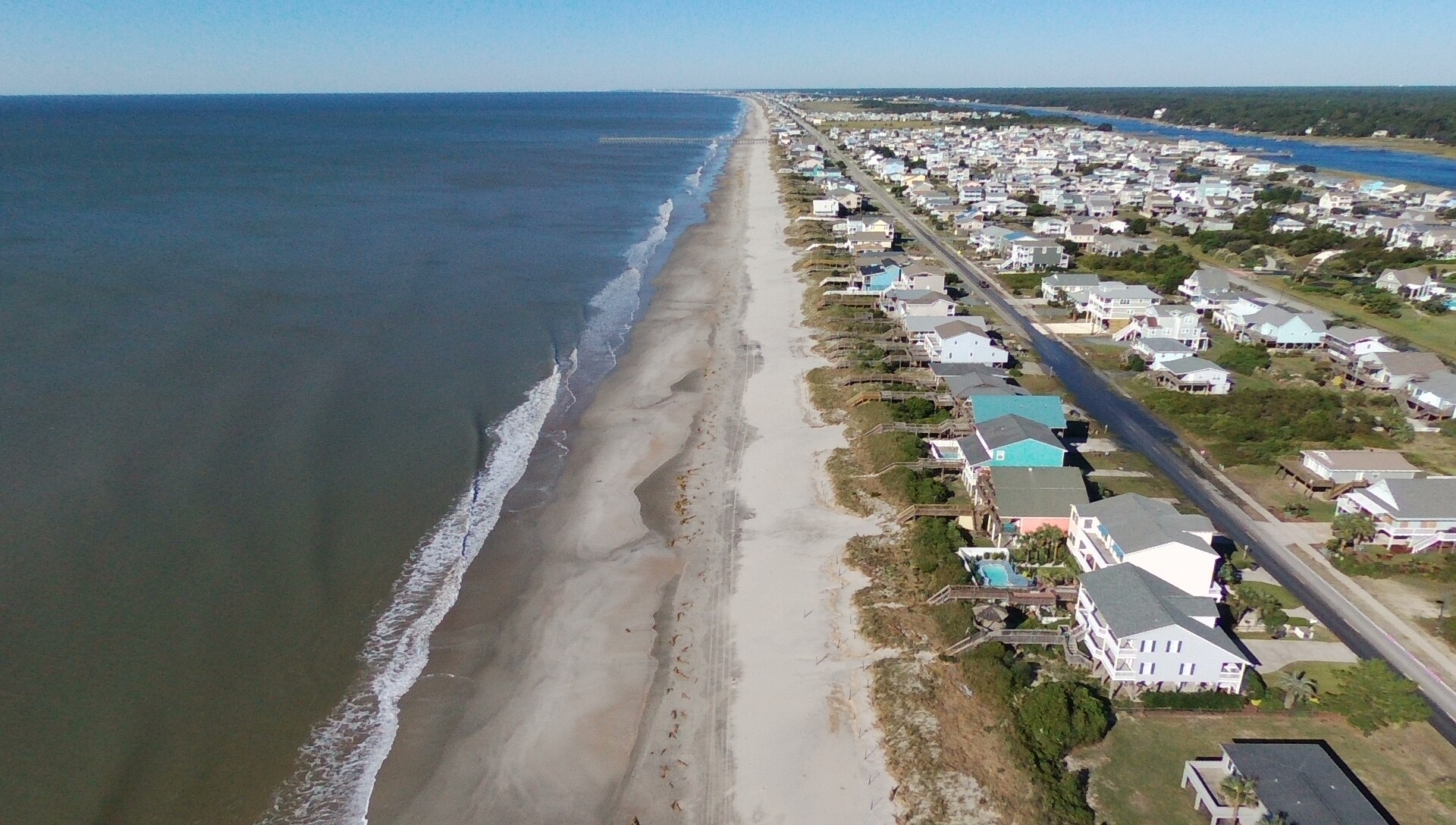
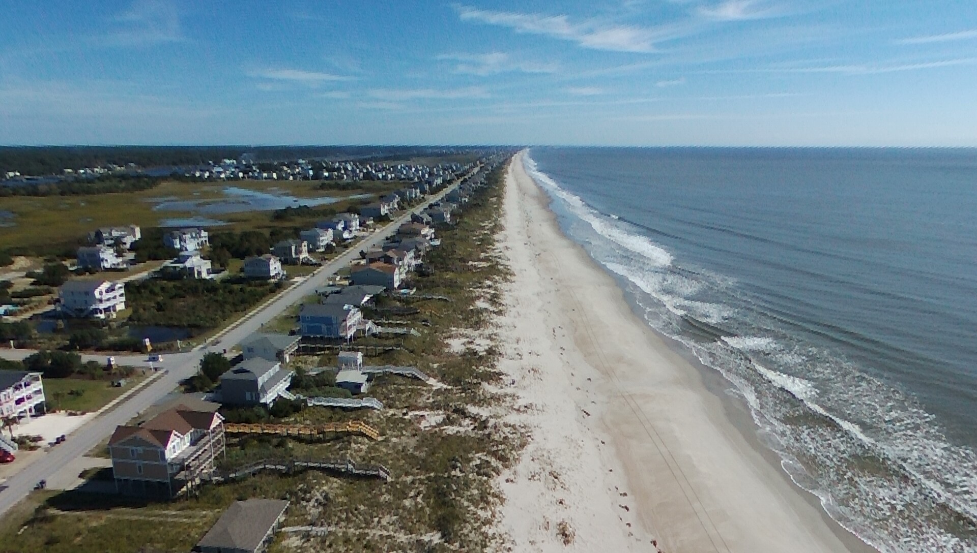
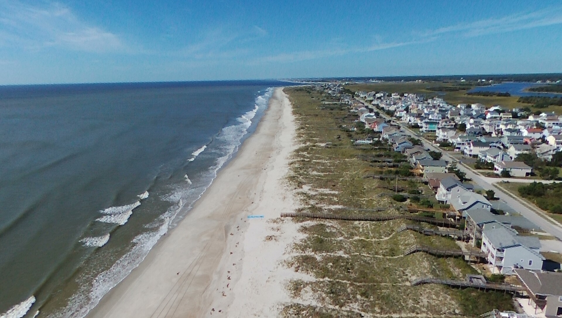
Now that the curfew has been lifted we can get out there and share the impacts of the hurricane with you. Below are links to videos taken from a drone of the oceanfront and major roads. We will add to this post as new videos are completed.
Click the links below:
East End to Bridge Oceanfront Properties
OBE from Bridge to Blockade Runner
OBW from Boyd Street to Bridge
Bridge to 300 block OBW Oceanfront Properties
OBW from 300 Block to Boyd St.
Pier to 200 block OBW Beach Strand
300 OBW block to the Pier Oceanfront Properties
Campground and 500 block OBW Oceanfront Properties
500 OBW to 700 OBW Oceanfront Properties
Photos of during and after Hurricane Matthew. If you have any photos you would like to share send them to us at HBPOA@hotmail.com.
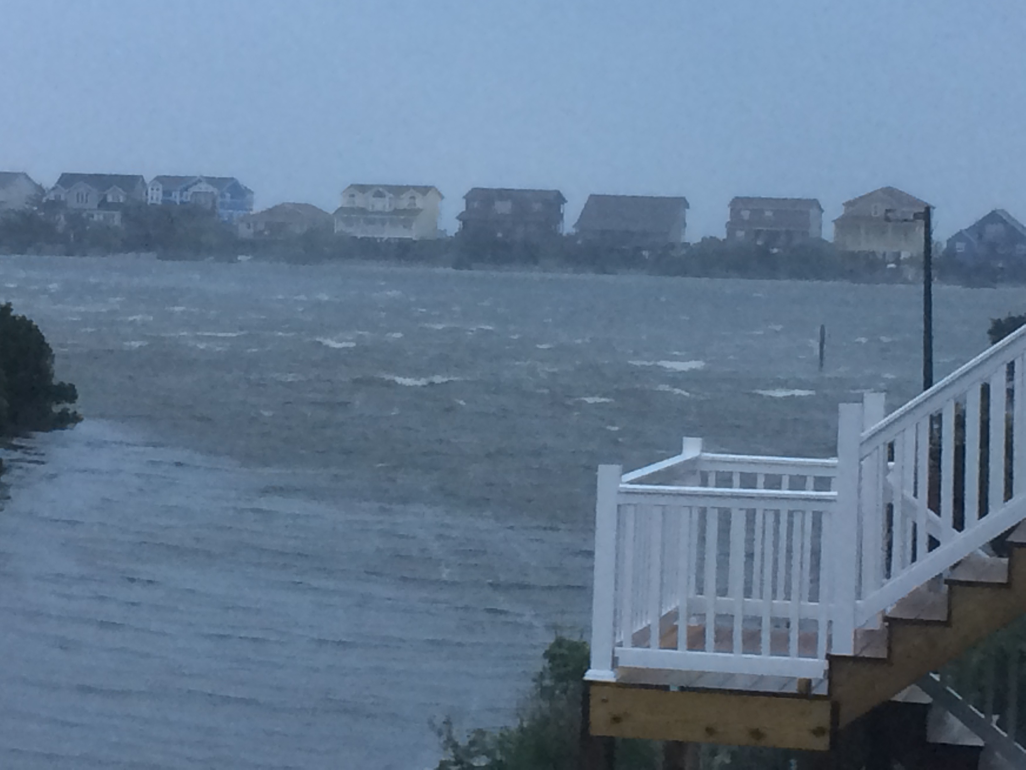
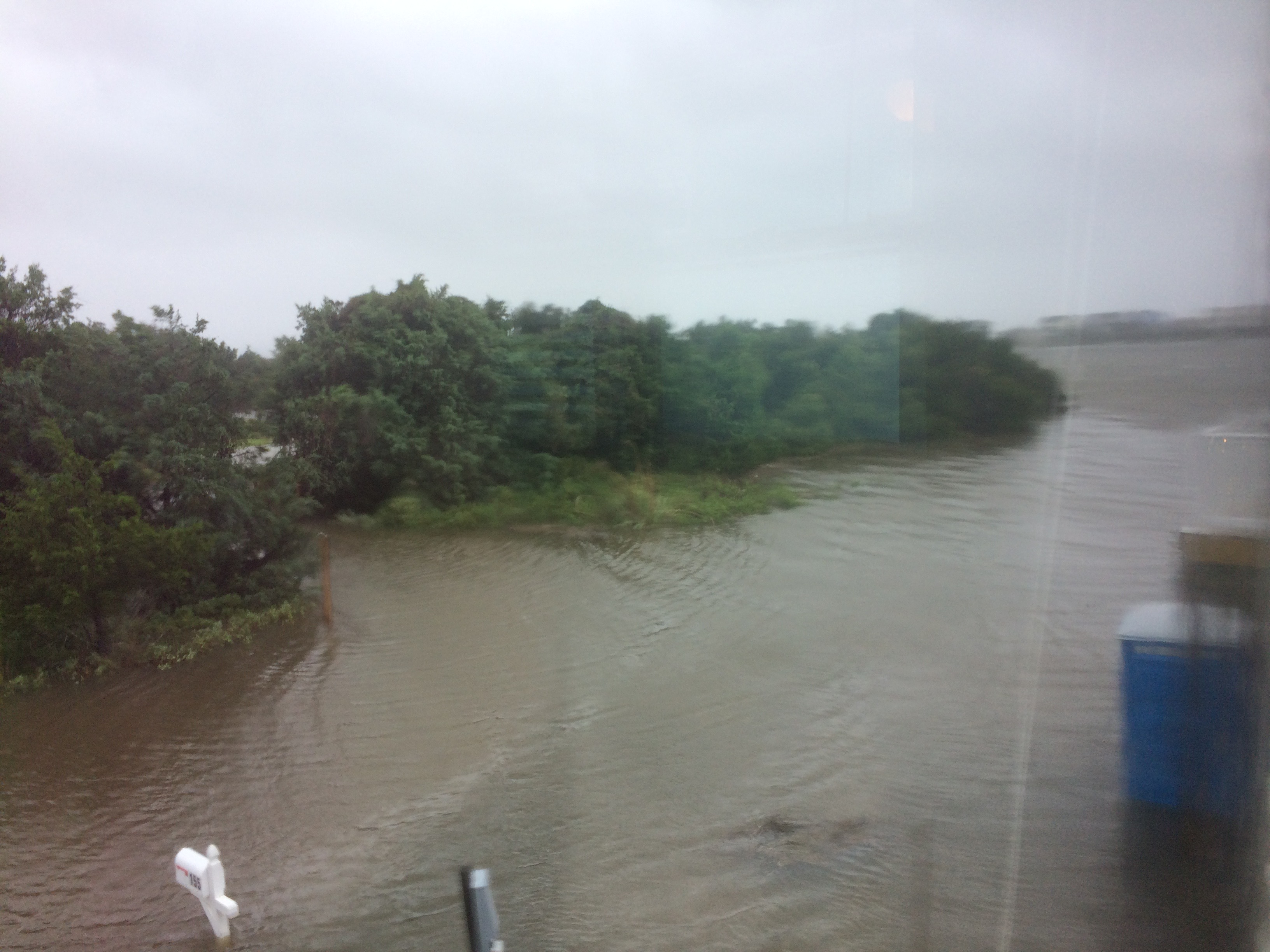
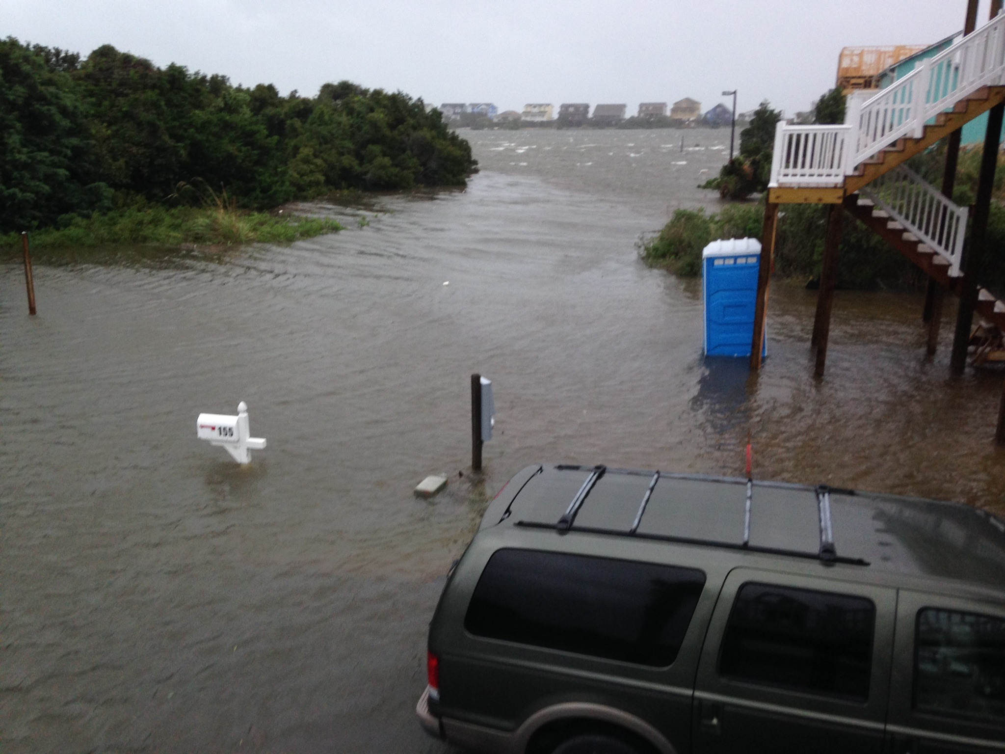
Looking from Scotch Bonnet back to OBW. This is the marsh.

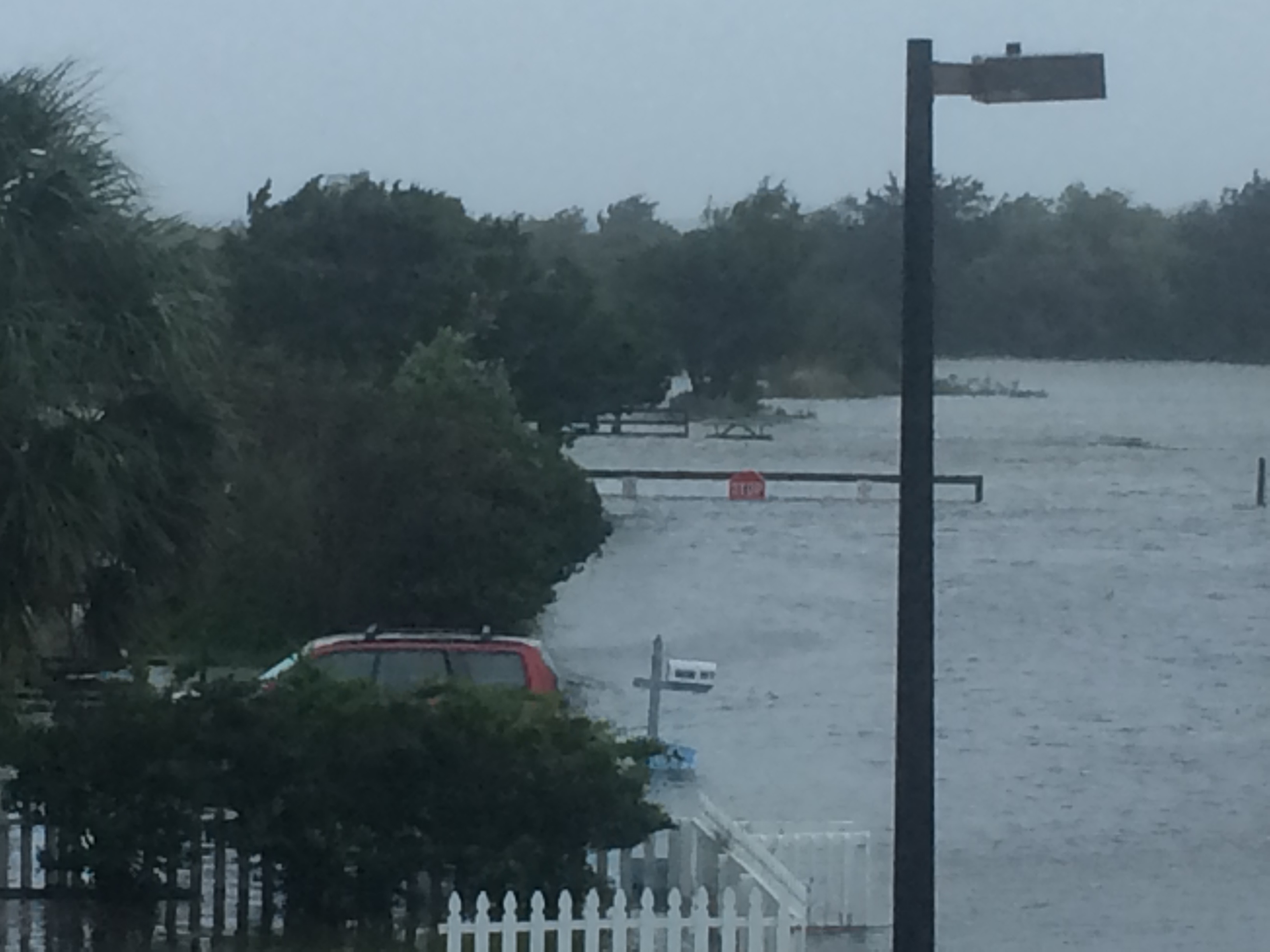
Scotch Bonnet Dr. looking toward Sand Dollar Park.

Looking from Scotch Bonnet across the ICW
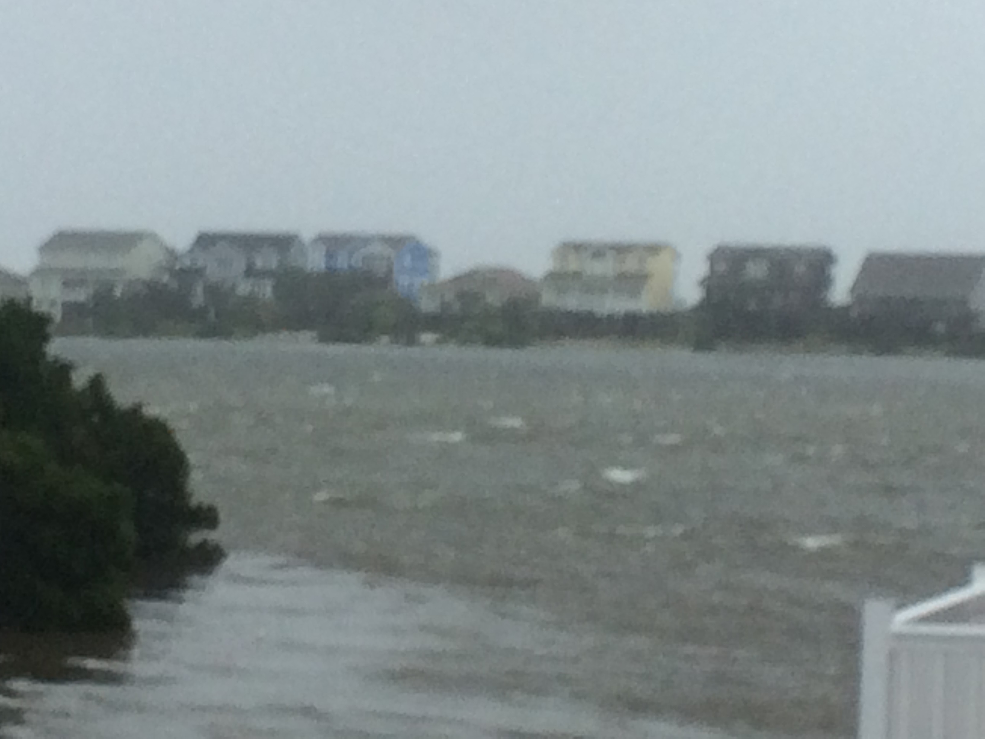
The marsh between Scotch Bonnet and Greensboro.
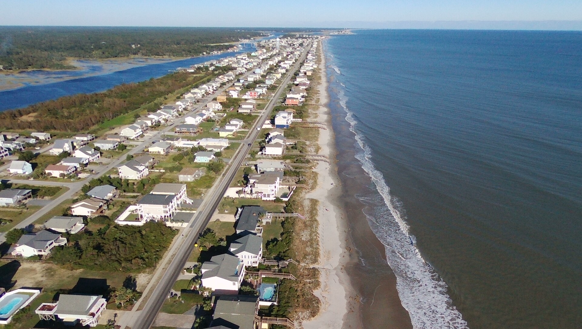
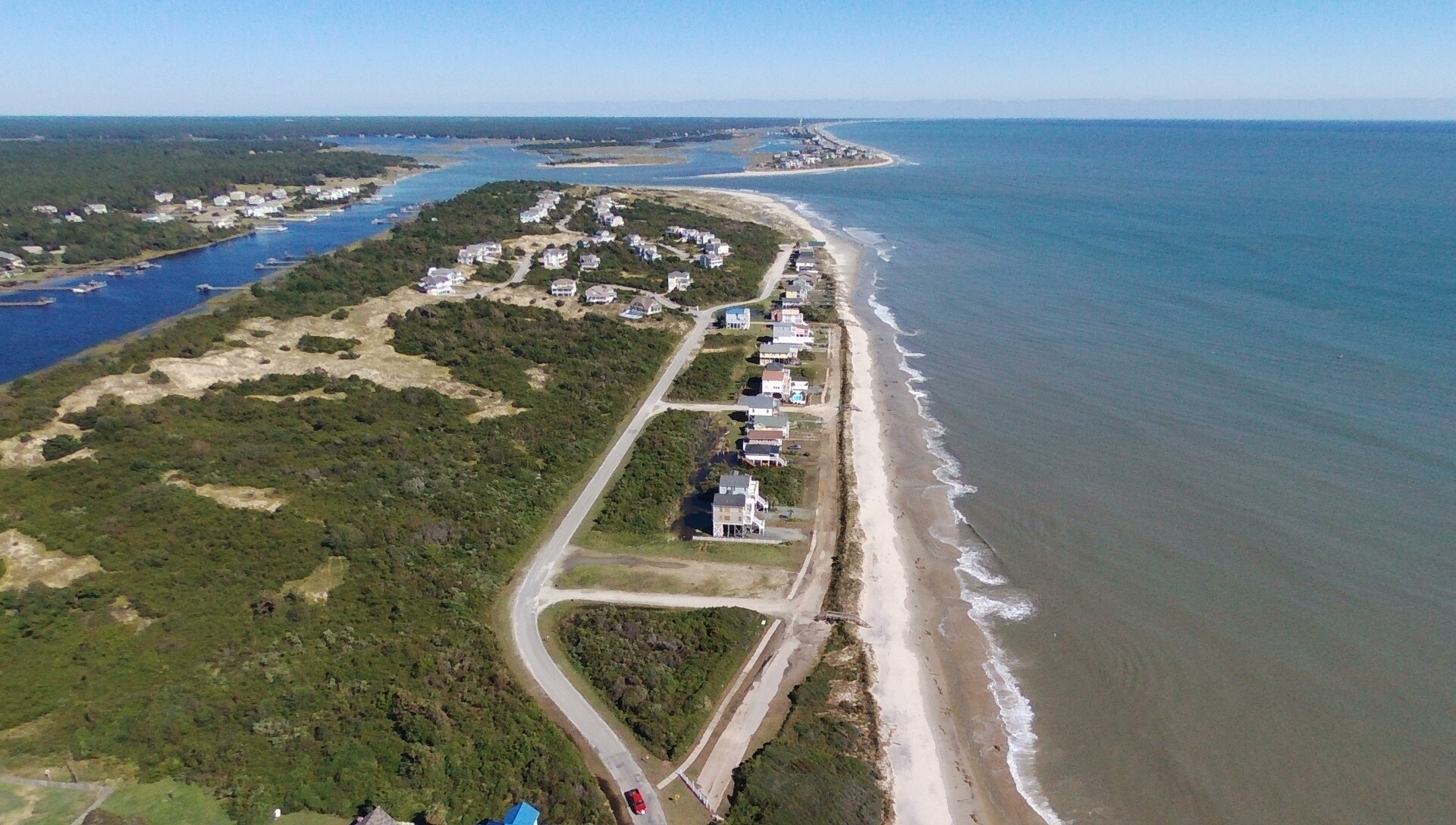
From 1065 OBW looking East
From 1065 OBW looking West