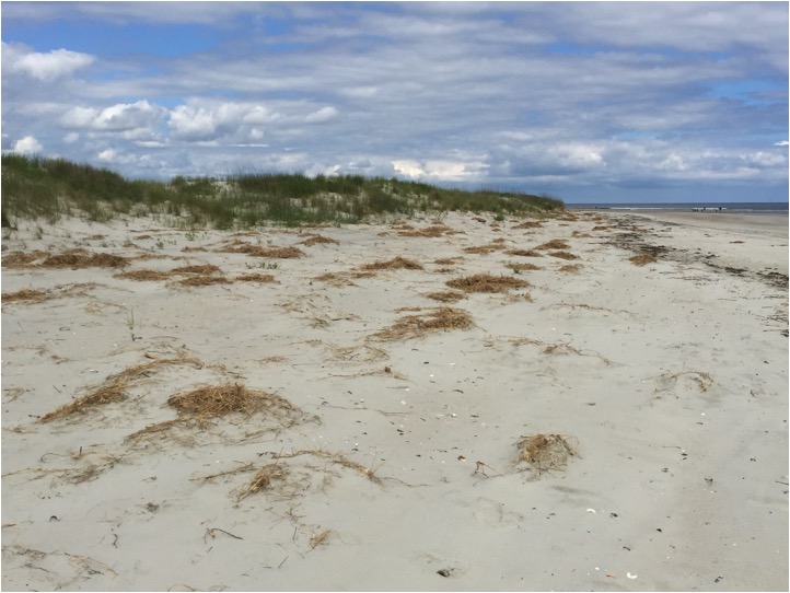
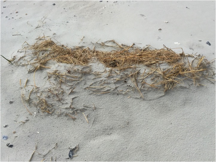
When Tropical Storm Ana visited Holden Beach on May 10 she left damaged dunes and a lower beach strand in her wake. This past week Town Manager David Hewett did a survey of the strand and took these photos to share at the Commissioners’ Meeting. The photos move from east to west beginning in the 200 block of OBW.
Feel free to share your photos or comments on how your part of the beach is recovering. You can comment on the article or email us at HBPOA@hotmail.com.
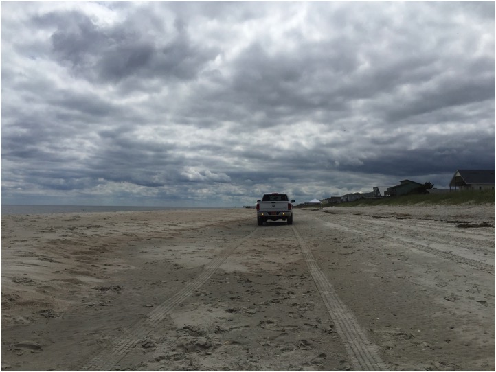
This image from the 200 block of OBW shows a sand bar appending to the beach. Note the hump of sand to the left of the truck. Town Manager Hewett estimates this at 40′ wide and 3′ tall.
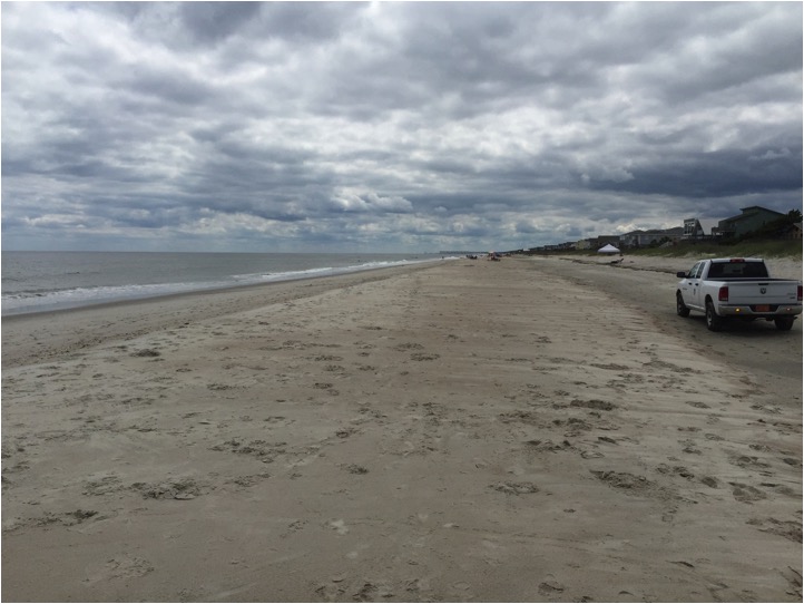
This is the same area of the beach as the previous photo. The photo was taken from the top of the sand bar.
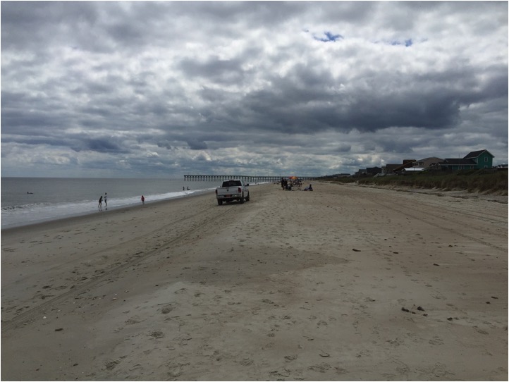
This photo is from approximately the 400 block of OBW and shows the beach strand widening. The dune escarpment, while still prominent, is softening.
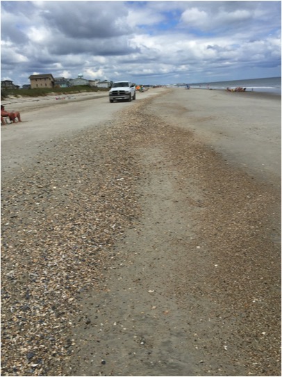
This photo was taken in the 400 block of OBW and shows a shell hash on the strand. The shell hash is indicative of a growing beach.
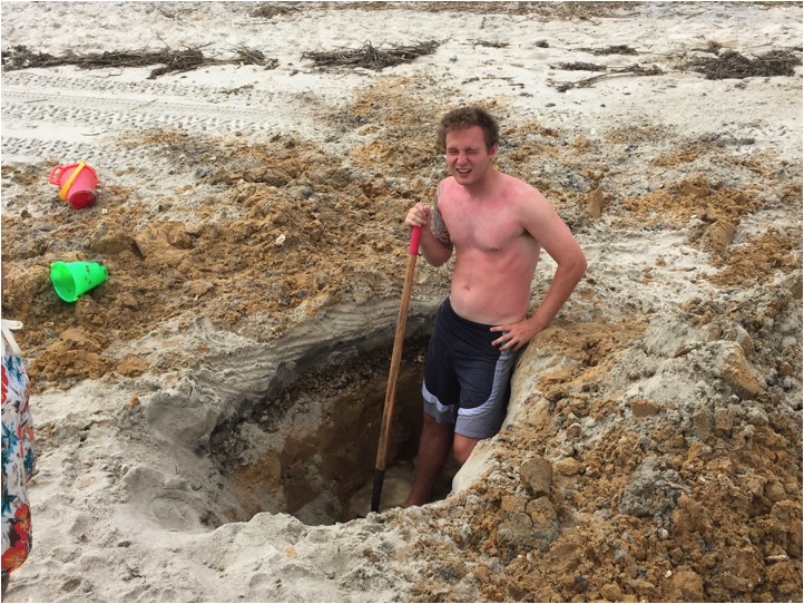
This visitor was digging between 550-600 OBW. If you look closely you can see the layers he is digging through. The layers tell the history of this section of beach.
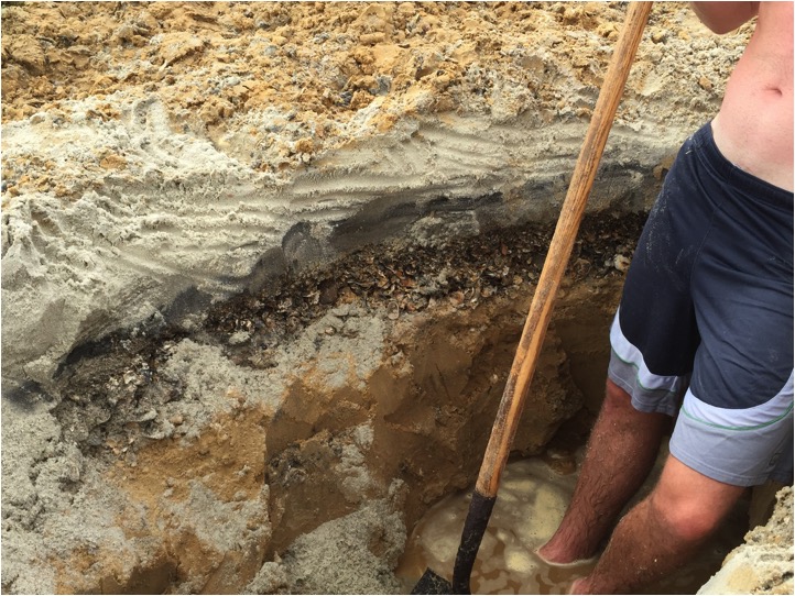
The stratified layers in the hole show the top 12 inches are beach sand, under that is a layer of shell hash and the bottom layer is the orange sand that was hauled in previously to renourish this area of the beach strand. This indicates that TS Ana did not wash away all the sand from the renourishment in this area.
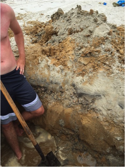
This is another shot showing the layers and history of this section of the strand.
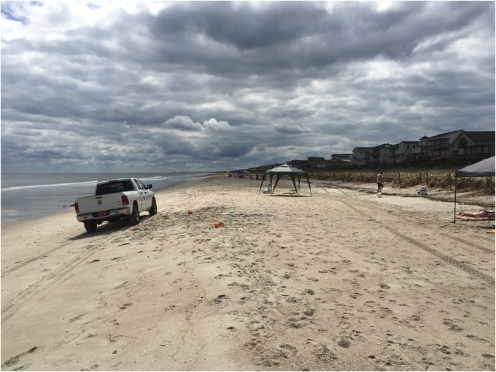
This photo was taken around the mid-600 block of OBW. You can see that the beach strand is widening and the dune escarpment is softening.

